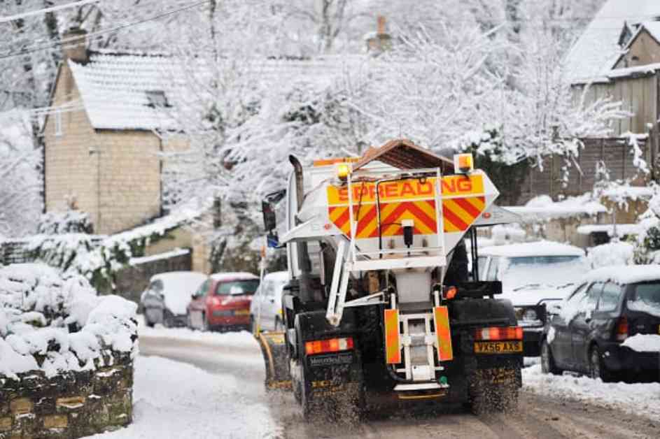
The Met Office has issued a snow weather warning for various parts of the UK, including southern Scotland, north-east England, Yorkshire, and parts of north-west England. The warning is in place from Sunday until Tuesday, with the possibility of power cuts. Snow is expected from 10am on Monday until 10am on Tuesday, with up to 20cm on higher ground and potentially 10cm on lower levels.
In addition to this warning, northern Scotland is also under a snow and ice warning from 4pm on Sunday until 11 am on Monday morning. The Met Office’s website states that showers will turn wintry throughout Sunday, with hail, sleet, and snow. While little snow is expected to settle at low levels during the day, 1 to 3 cm may accumulate in some areas overnight. Higher ground above 300 meters could see 5 to 10 cm of snow by Monday morning, with the possibility of ice forming on untreated surfaces as temperatures drop.
According to Met Office Deputy Chief Meteorologist Rebekah Hicks, a cold spell is expected to hit the UK early next week, starting in the north on Sunday and spreading across the country by midweek. The drop in temperatures will be due to a northerly airflow bringing in colder Arctic air, increasing the likelihood of snow, especially over high ground. Gusty winds are also a potential hazard during this time.
Hicks mentioned that there is uncertainty about what may happen after Sunday, but various scenarios could bring widespread rain, hill snow, and stronger winds. While there is a low chance of widespread snowfall across lower ground, the entire UK is expected to experience several days of cold and potentially disruptive weather next week. It is essential for people to stay updated on the latest forecast and warnings for wintry hazards, including snow and ice.


